Arab Development Organization Organizes GIS Basics Course

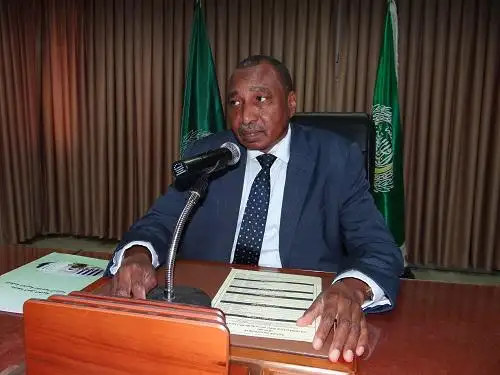
His Excellency Professor Ibrahim Adam Ahmed Al-Dakhiri, Director-General of the Arab Organization for Agricultural Development, opened the national training course (remotely) on “Fundamentals of Geographic Information Systems”, which is being implemented by the Organization for 70 participants from Arab cadres working in the field of agricultural and fisheries statistics.
This four-day course aims to increase the capabilities of Arab cadres in the field of GIS by introducing them to these technologies, how spatial data and time chains are presented and analysed, and how they are presented and produced, thereby contributing to a better understanding and analysis of the outputs of these data and decision-making in better utilizing agricultural resources and contributing to food security.
This course is part of the programme of the Arab Organization for Agricultural Development to build the capacity of Arab cadres in the field of geographic information systems. This is part of the Arab project for the development of information systems in the field of agricultural and fishery statistics. The organization announced the launch of the electronic system of agricultural and fishery statistics in the Arab world. (AOAD – STAT) To access an integrated statistical information system for the Arab region that helps decision makers to make sound decisions in the agricultural and fisheries sectors of the Arab country.


